.png?width=300&height=65&name=GG%20Logo%20Main%20Navy%20(1).png)
The Drawing Tools are located at the bottom of the map and allow you to create custom shapes around intelligence alerts and other map markers. Any markers within the drawn area will automatically appear in a dedicated side panel for easier review and analysis.
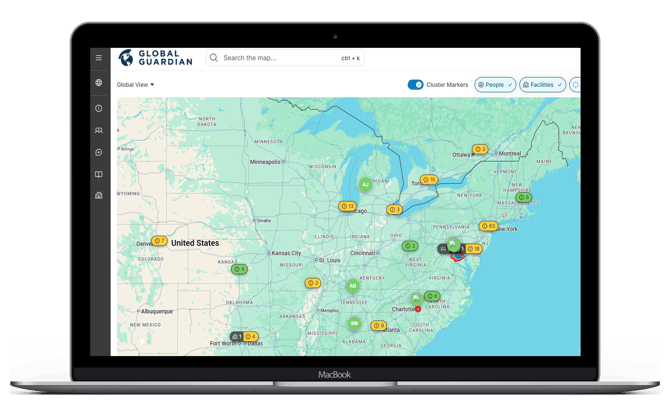
Available Shapes:
- Circle
- Rectangle
- Polygon
How to Draw:
Circle or Rectangle- Select the desired shape.
- Click, hold, and drag on the map to adjust the size of the shape.
- Release the mouse button (or lift your finger) to finish the shape.
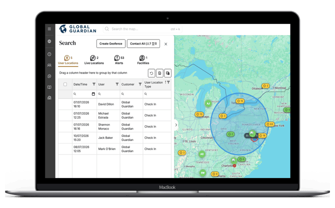
Polygon
- Select the Polygon shape.
- Click on the map to place points and create straight-line segments.
- Continue adding points until the shape covers your desired area.
- Complete the shape by connecting the last point back to the starting point (minimum of 3 sides).
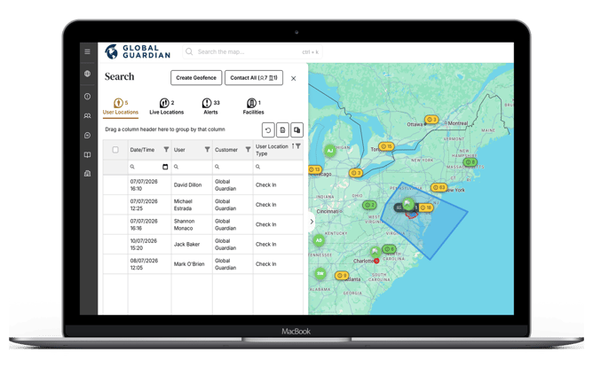
Removing a Shape
- Close the side panel, or
- Click the “X” on the bottom control to clear it from the map.
Pro Tips
- Zoom in for more precise placement before you start drawing.
- Use Circle or Rectangle for quick broad searches; use Polygon when you need to follow irregular boundaries (borders, roads, coastlines).
- If the side panel shows no markers, zoom out—some markers may be outside the visible map area.